Projects
In progress
REMAP – Mosaic tiles, signs in landscape, virtual narratives: REthinking the Madaba MAP in the Third Millennium
REMAP is a project about the reconstruction of the historical landscape on the basis of cartographic, documentary and archeological sources analyzed through a methodological approach that highlights geographical and cultural nodes and paths and the use of innovative technologies to manage and share data.
In progress
T-Place
T-PLACE project aims at designing and developing an inclusive and participatory model of place-based education, focused on the use of cross-media tools (e.g. immersive technologies and extended reality) to promote a participatory approach to cultural heritage and generate a positive fallout on citizenship and tourism.
In progress
Aristeo
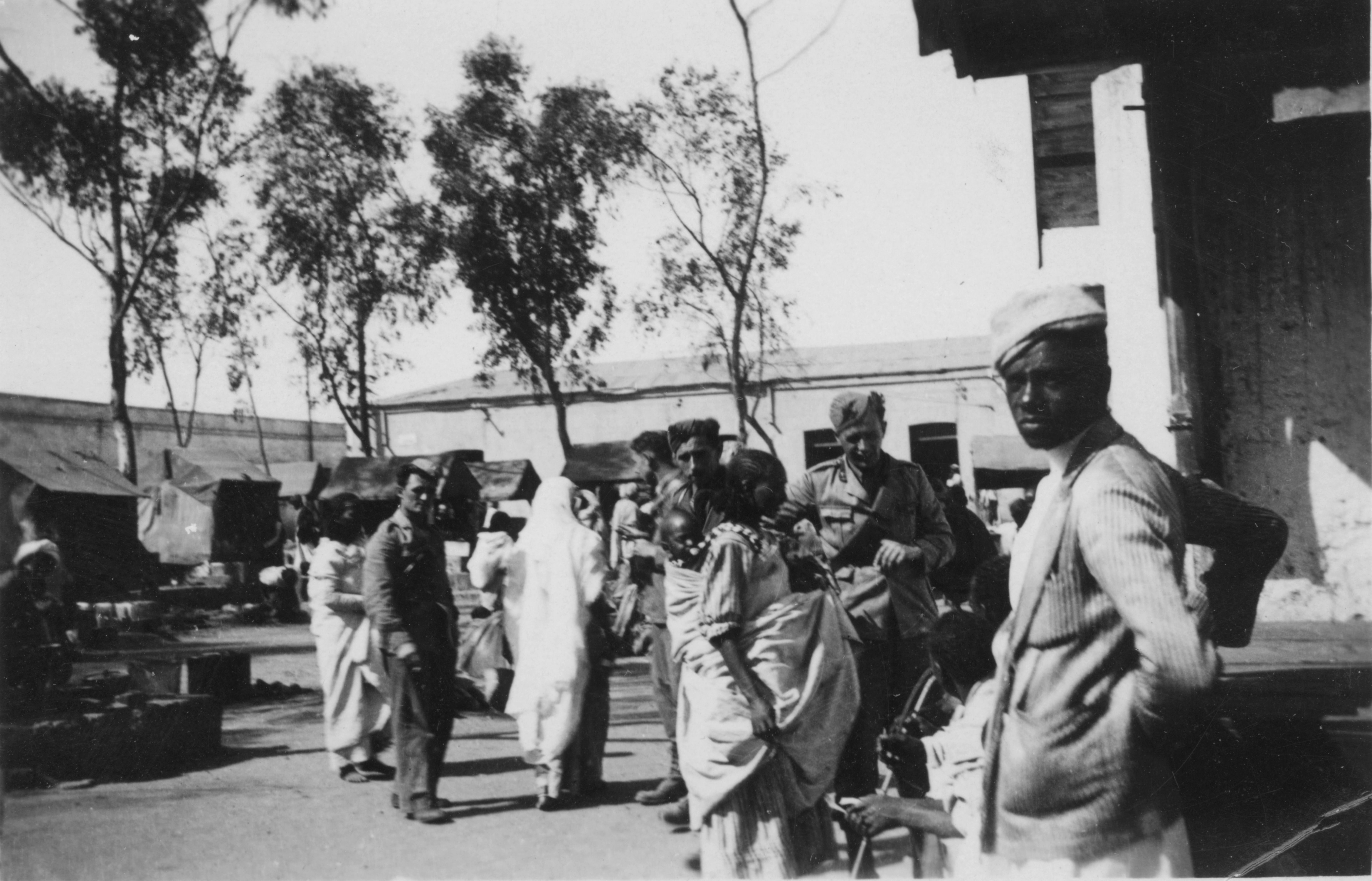
Il progetto ARISTEO (Memorie dell’Attività italiana di Ricerca e Innovazione agricola in ambiente tropicale. Recupero e valorizzazione delle collezioni fotografiche SToriche dell’AgEnzia italiana per la coOperazione allo sviluppo) intende perseguire azioni di censimento, tutela e valorizzazione delle collezioni fotografiche storiche dell’Agenzia Italiana per la Cooperazione allo Sviluppo, sede fiorentina.

The MOOC on Geotechnologies for Cultural Heritage.
MINERVA is an ERASMUS+ KA203 Project which offers students and professional high-level training opportunities with a wide range of European examples on the use of geotechnologies for the management and the analysis of cultural heritage.

Sinergie
The creative industries to improve the territory
Creativity and culture as identity values
Cultural activities have the capacity to disseminate the cultural heritage of a territory. SINERGIE (“synergies”) aims at examining how youth-driven creative industries can support local development and can be furthered by some features in the urban context.
Geographical Memories
A Photographic Archive for the History of the Territory
The project aims at establishing a digital platform towards ensuring the preservation, the cataloguing and the effective and user-friendly utilization of a vast photographic historical heritage housed by the University of Florence, other public institutions and private collections. These collections which (even if they are not widely known but of great importance to the understanding of the history of the territory) have been studied, catalogued, digitalized and made available via a purposively designed digital platform.
Cartografia coloniale
Recovery and promotion of the cartographic archives of the Agronomic Institute for Overseas (Istituto Agronomico per l’Oltremare, IAO) related to the explorations in the territories within the former Italian colonies.
The project entails the digitalization and cataloguing of a relevant sample of geographic maps (general and thematic maps of the territories which were within the former Italian colonies) housed at the Agronomic Institute for Overseas (Istituto Agronomico per l’Oltremare, IAO).

Landscape and intangible values. Sustainable uses of historical cultural identity european landscapes
The Project aimed at defining a methodology, also through its application to selected case studies, for the study of cultural landscapes - landscapes whose main values (articulated via material and immaterial heritage) are the expression of the identity of the local communities.

ArCES Digital Archive of Italian Scientific Expeditions and Colonial Cartography
Feasibility study for the development of a webGIS for the recovery and promotion of photographic and cartographic archives related to explorations activities in the territories within the former Italian colonies between the 19th and 20th century.


